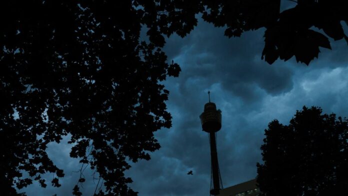
Sydney is in the grip of severe thunderstorms and heavy rainfall as New South Wales faces a deluge, prompting widespread warnings from meteorological authorities.
As thunderstorms and lightning strikes lash Sydney, parts of New South Wales, including the Mid North Coast, Hunter, North West Slopes and Plains, Northern Tablelands, Central Tablelands, and Central West Slopes and Plains Forecast Districts, are under severe thunderstorm warnings issued by the Bureau of Meteorology. These warnings caution of slow-moving showers and thunderstorms that could result in flash flooding over the coming hours.
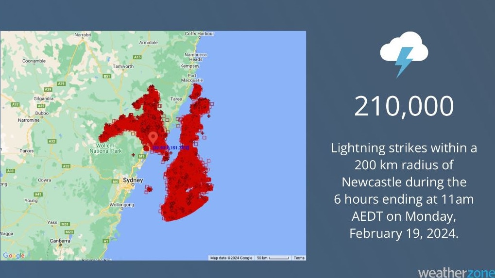
The alert highlights areas such as Newcastle, Scone, Armidale, Inverell, Bundarra, and Quirindi as potential impact zones. The severity of the storms is underscored by the detection of approximately 210,000 lightning strikes within a 200km radius of Newcastle from 5am to 11am AEDT on Monday.
Furthermore, a separate warning has been issued for Greater Newcastle and Gosford/Wyong areas, with a slow-moving thunderstorm near Wangi Wangi and Awaba posing a risk of heavy rainfall and flash flooding. Communities like Brightwaters, Lake Macquarie, Swansea, Mannering Park, and Nords Wharf are urged to remain vigilant.

Meanwhile, Western Australia braces for the aftermath of Ex-Cyclone Lincoln, as it traverses from the Gulf of Carpentaria across central Northern Territory towards the northwest coast. Intense rainfall, reaching over 138mm in Tennant Creek, coupled with strong winds, has already impacted the region. As the cyclone potentially redevelops off WA’s northwest coast by midweek, areas in its path are warned to expect heavy rainfall and damaging winds.


